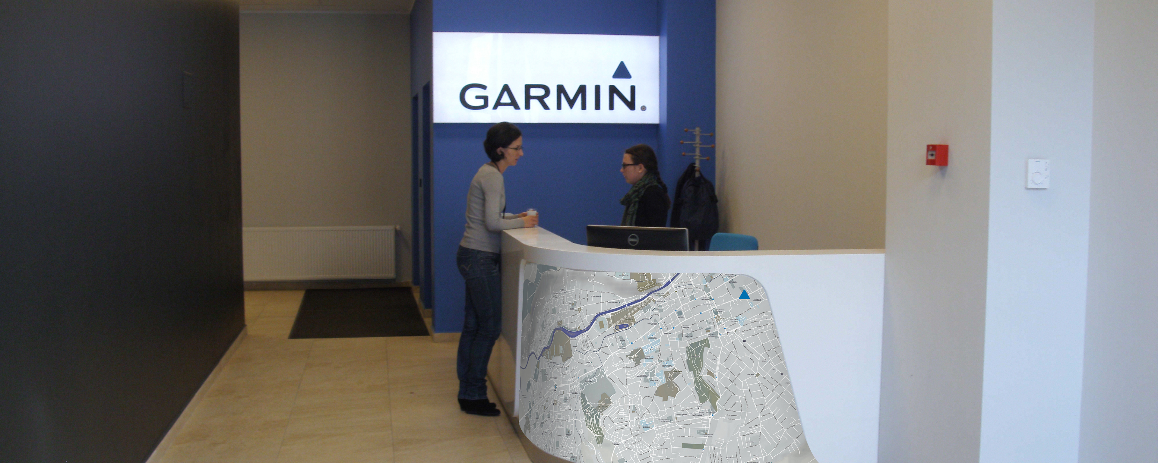
Back in 2014 Garmin was finishing their new 5 storey office building in Cluj and I was asked to come with a creative solution to cover their interior glass walls separating the (mostly) open space offices.
Considering the nature of the business and the fact that a vast part of the employees shared a passion for outdoor, sports and adventure, I built the entire project around the symbolic concept of maps, representations of the world used from the beginning of time by seekers, adventurers and travelers to both plan and record their journeys.
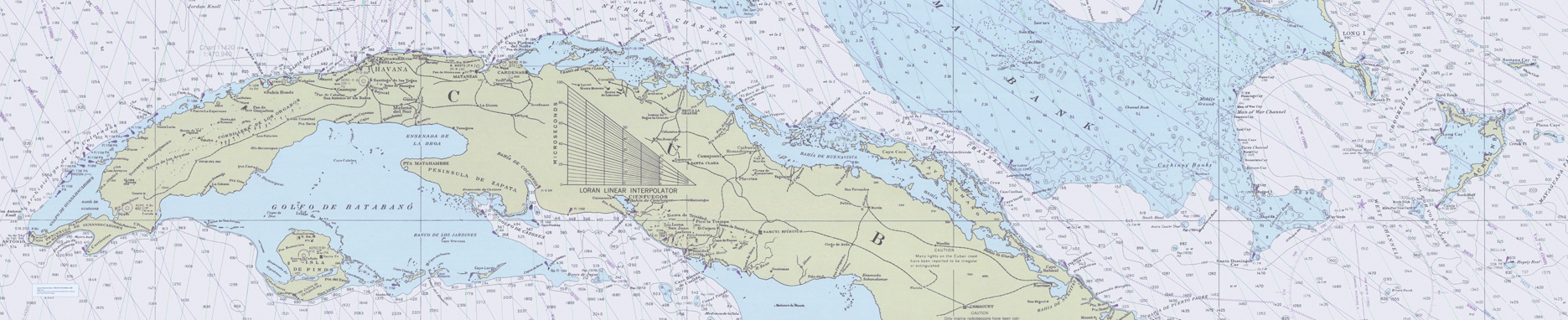
Nautical map - Straits of Florida - 1988 - NOAA's Office of Coast Survey Historical Map & Chart Collection - http://historicalcharts.noaa.gov
I chose to use different types of maps to differentiate the 5 floors, with aviation maps for the top floor, and naval and historical earth maps for two other floors. For another floor we used maps generated from Garmin applications, and for the ground floor I made captures of satellite images of all the Garmin offices locations around the world, bringing the colleagues' locations closer and offering a fun way for those who visited different places to see the locations' satellite images.
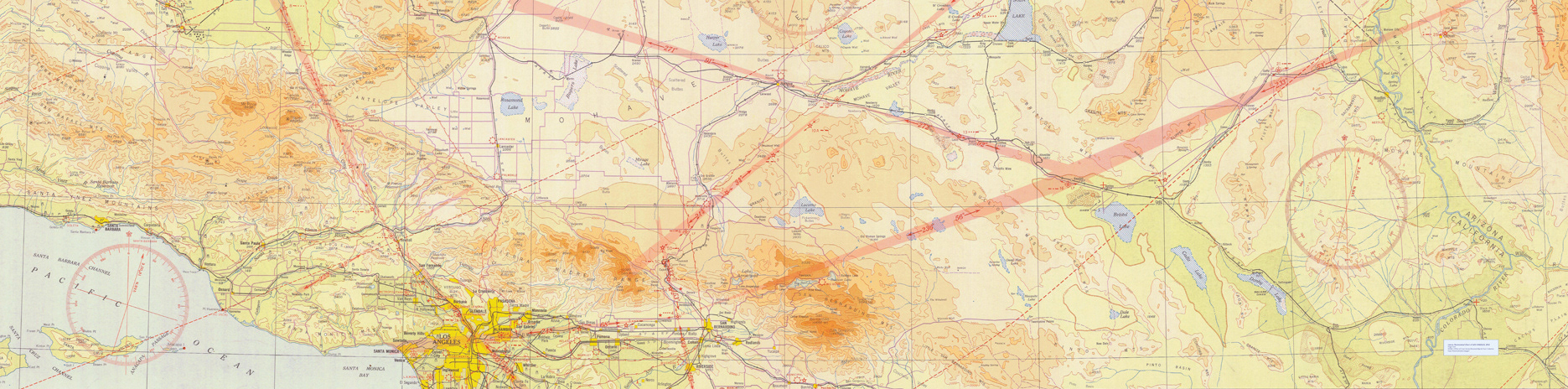
Aeronautical Chart of Los Angeles - 1932 - NOAA's Office of Coast Survey Historical Map & Chart Collection - http://historicalcharts.noaa.gov
The reception used a map of Cluj and the Garmin logo's arrow symbol to mark the exact location of the reception on the map, a funny and nerdish detail.